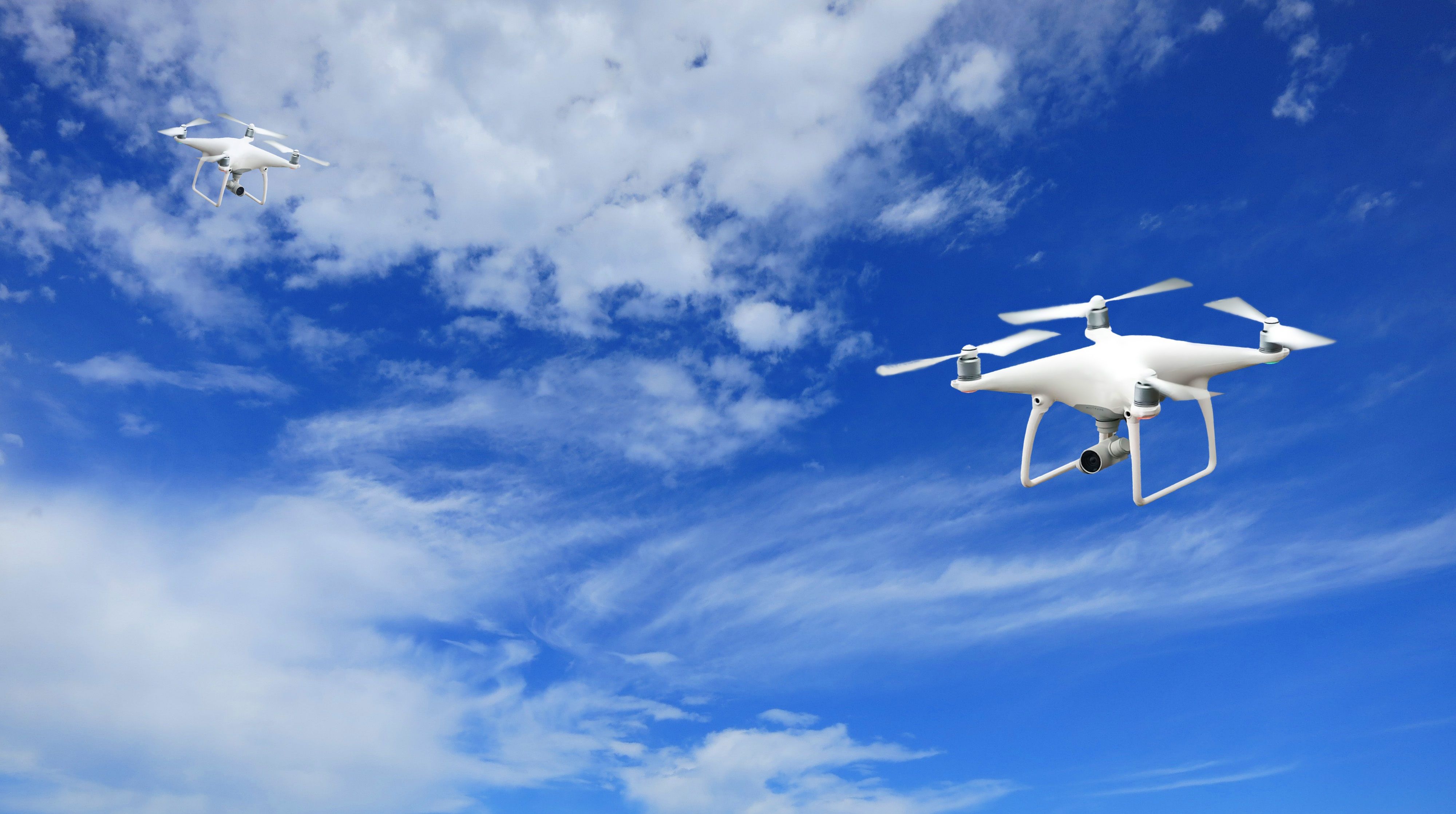
A University of Oklahoma drone can now fly nearly two miles straight up from a McClain County field station, after the FAA granted the research team the first waiver of its kind issued to any U.S. university.
The waiver authorizes the CopterSonde-SWX weather drone to reach 10,000 feet above ground level at the Kessler Atmospheric and Ecological Field Station, doubling its previous 5,000-foot ceiling, OU announced Aug. 17. The approval also permits flights beyond visual line of sight, meaning the drone can operate without a pilot watching it from the ground.
That altitude matters.
"This gets us to the point in the atmosphere where you start to see the features that drive high-impact weather, the low-level structure that matters for severe storms," said Tyler Bell, an assistant professor in OU's School of Meteorology and School of Aviation who co-leads the project.
The CopterSonde-SWX, developed by researchers at OU and the OU-NOAA Cooperative Institute for Severe and High-Impact Weather Research and Operations headquartered at the National Weather Center in Norman, ascends vertically along a fixed GPS track. Unlike weather balloons that drift with the wind and launch only twice daily, the drone can fly as often as every hour, collecting atmospheric readings at intervals of 50 to 100 feet and streaming data in real time.
Because the drone now operates beyond visual line of sight at altitude, OU coordinates each flight with Oklahoma City TRACON, the FAA radar control facility that vectors commercial aircraft at least five miles clear of the drone's vertical corridor. Ken Carson, FAA liaison for OU Faculty for Research Flight Operations, said the partnership dates back more than 20 years.
OU has flown research drones at KAEFS since 2011, when it became one of the first universities to receive an FAA certificate of authorization for non-military drone flights. The 3D Mesonet project, funded through a NOAA National Mesonet Program contract with OU's Oklahoma Climatological Survey, began quasi-operational weekly flights there in late 2025. Oklahoma is the first state to supply vertical atmospheric drone profiles through that federal program.
In a related milestone on July 30, the National Weather Service began purchasing vertical atmospheric profiles collected by OU and partner Meteomatics, the first time NWS bought that data type from a state Mesonet.
The team has completed Stage 2 weekly flights and is now testing a drone hangar designed for automated launch and recovery. The long-term goal, Bell said, is a fully autonomous system: a drone that ascends, collects data, returns to its station, recharges and repeats without an on-site pilot.
OU is also partnering with Oklahoma State University to pursue a similar 10,000-foot FAA waiver for a second site near Bixby, north of Tulsa. The 3D Mesonet project is co-led by Cindy Luttrell of the Oklahoma Mesonet, Bell, Chris Fiebrich of the Oklahoma Climatological Survey and Tony Segales of CIWRO.
In a January OU news article, before the altitude waiver was secured, Fiebrich described the stakes: "Perhaps we're on the morning of a day when we know there's tornado potential in the afternoon. Being able to take these UAS flights, perhaps every hour, might help us have a better idea of when those convective storms will initiate and exactly what part of the state they will initiate in."