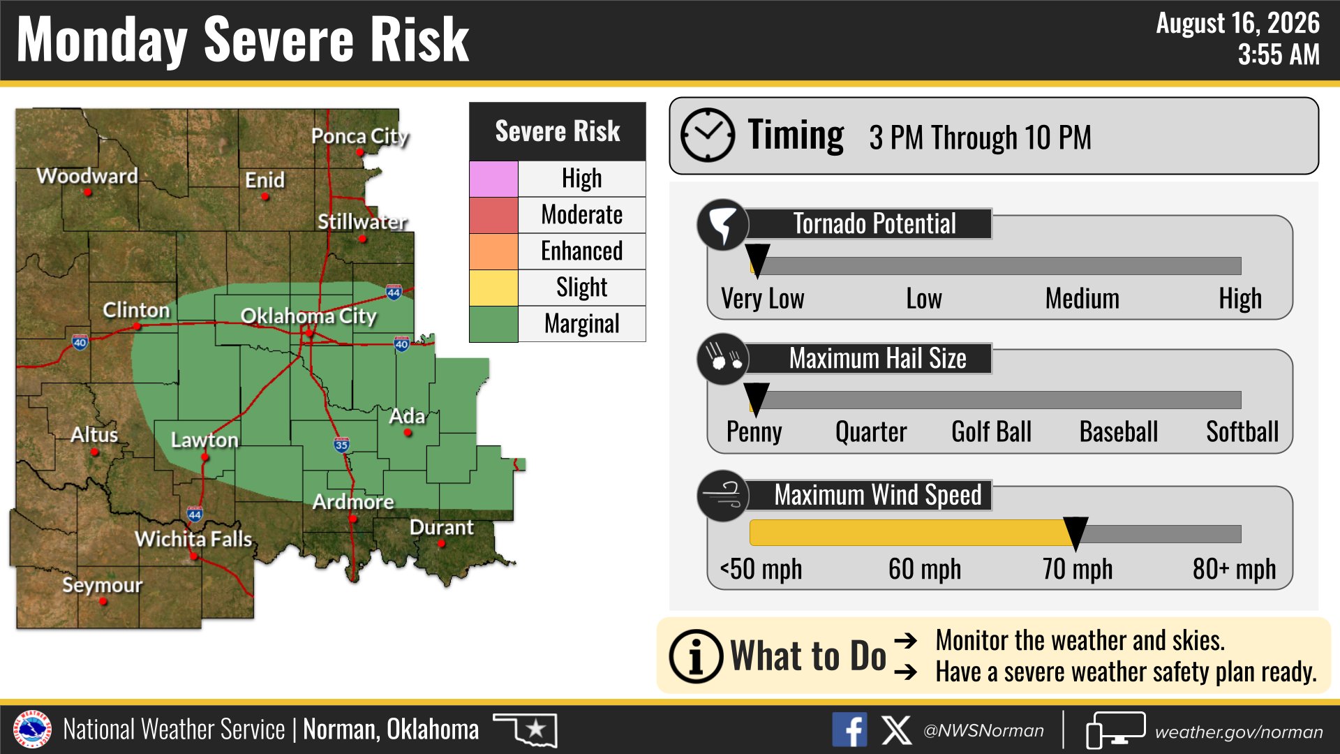
The National Weather Service in Norman is warning of severe storms Aug. 17, with damaging wind gusts as the primary threat to central Oklahoma, including the Norman area.
A stalled cold front across southern Oklahoma will fuel the storm risk from Monday afternoon into the evening hours, according to NWS Norman. The agency placed central, southwest and southeast Oklahoma under a marginal risk for severe weather, the lowest tier on the Storm Prediction Center's five-level scale.
The warning comes after storms already fired across the region Aug. 16. NWS Norman reported towering cumulus clouds developing along the cold front by 2:45 p.m., and by 3:40 p.m. confirmed isolated showers and thunderstorms had formed across central Oklahoma. The agency said the most intense Sunday storms could produce strong to severe wind gusts.
Monday's threat is tied to the same front.
NWS Norman said on its website that the front moved through Sunday and is expected to stall in southern Oklahoma, keeping the atmosphere primed for another round of afternoon storms. The agency's Facebook page noted thunderstorms could develop between mid-afternoon and evening.
No specific wind speed thresholds were included in the forecasts.
NWS Norman described the hazard only as "strong to severe/damaging wind gusts."
The agency also noted that northern Oklahoma could see storms overnight Sunday into Monday, but those are expected to stay below severe levels.
An extreme heat warning and heat advisory are also in effect for the Norman area Sunday, with triple-digit high temperatures and heat indices approaching 110°F adding to dangerous conditions.
Residents can submit storm reports at weather.gov/oun/ReportSevereWeather or call the NWS Norman office at (405) 325-3816. The agency urged residents to monitor forecasts as Monday's storm window approaches.