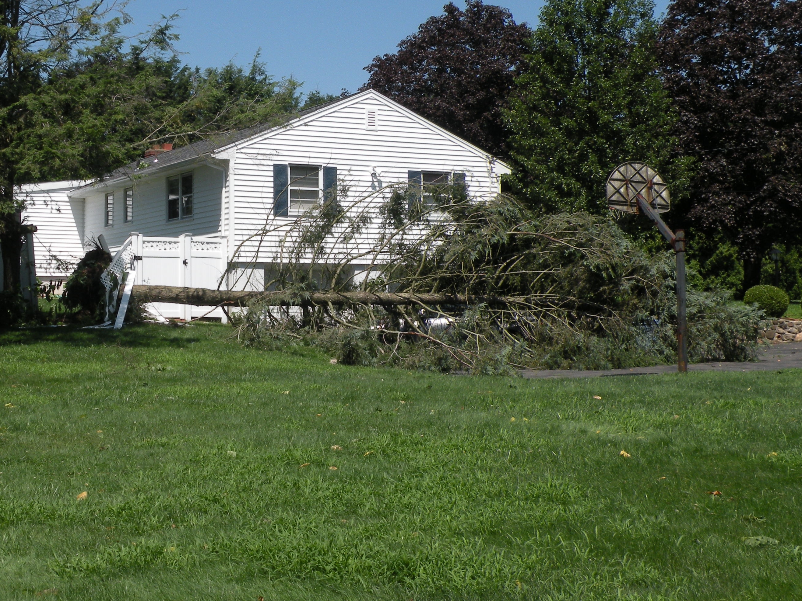
A downburst with damaging wind gusts struck northeast Norman on Aug. 16, uprooting trees and dropping half-dollar-size hail as a nearly stationary thunderstorm sat over the area.
The National Weather Service in Norman confirmed the downburst later that evening after tracking the storm's progression on radar. The agency shared a radar animation from the KTLX WSR-88D showing both reflectivity and velocity data from the storm that produced the damaging winds.
Storm escalated between 6 and 7 p.m.
NWS Norman reported at 6 p.m. Sunday that isolated showers and thunderstorms were developing across central Oklahoma, warning that a few stronger storms could produce wind gusts near 60 mph.
By 7 p.m., the situation in northeast Norman had worsened. The weather service said on X that the thunderstorm was producing strong to severe wind gusts and large hail, and that the storm had been uprooting trees and producing hail up to half-dollar size, roughly 1.25 inches in diameter.
The storm then culminated in the confirmed downburst. A downburst is a strong downdraft of air that spreads outward upon hitting the ground, producing damaging straight-line winds that can rival tornado-force gusts.
NWS Norman did not report a specific peak wind speed for the event.
Debris adds to existing cleanup
Northeast Norman residents dealing with downed trees from Sunday's storm face an overlap with an already active citywide debris collection effort. The City of Norman said storm debris pickup from a separate July 4 wind storm would continue through the end of August.
No injuries or structural damage beyond uprooted trees have been confirmed. Norman Fire Department and OG&E had not issued public statements about the event as of Sunday evening.
The downburst is separate from a Monday afternoon severe weather threat also forecast for the Norman area, meaning residents face a second consecutive day of potential storm hazards.