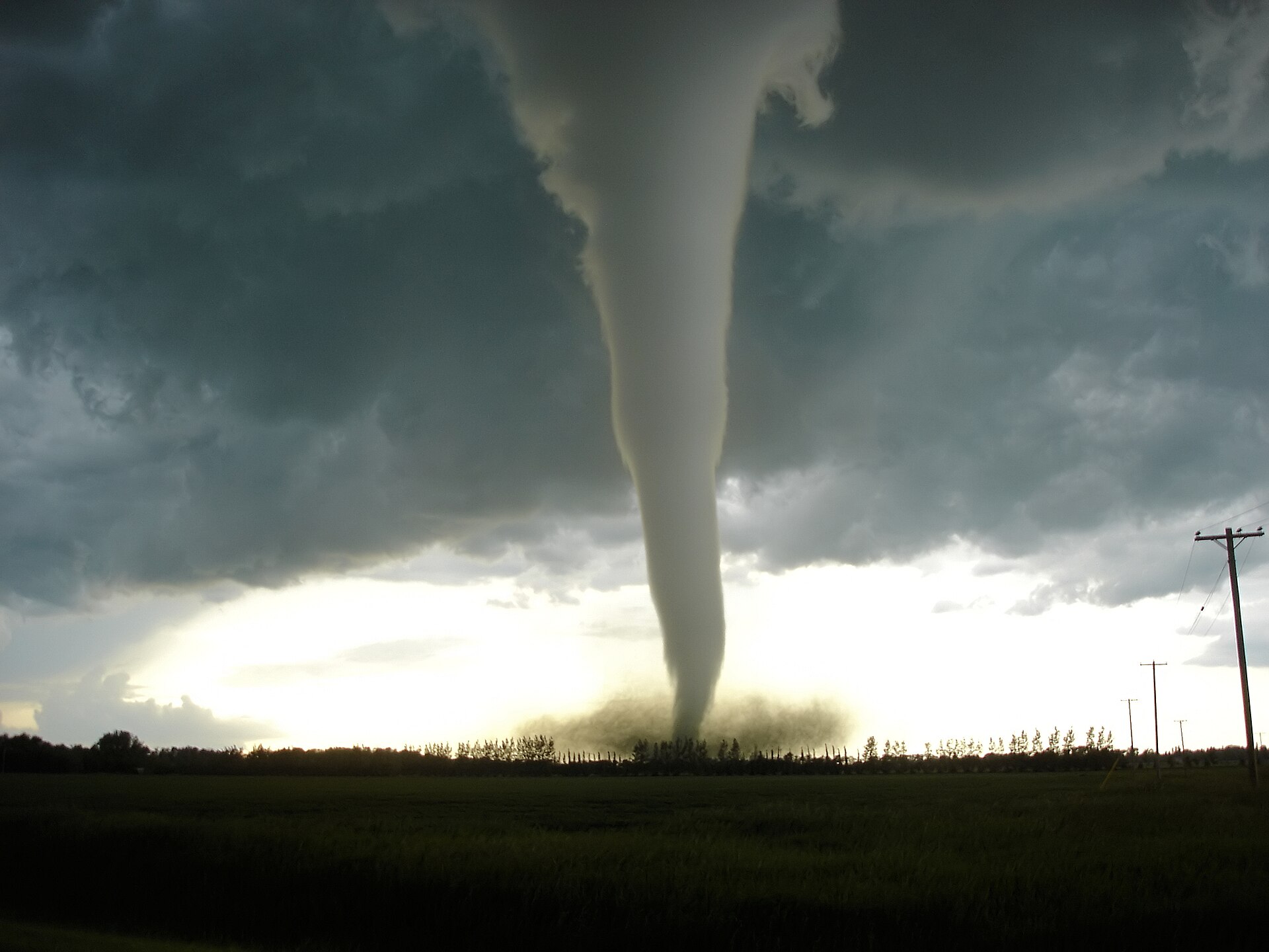
The National Weather Service is building a storm warning system that tracks severe weather in real time and pushes alerts forward at the speed of the storm.
The system, called Threats-In-Motion (TIM), is targeted for introduction in late 2027 or 2028, KGOU reported. It would replace the current method of issuing a series of separate, stationary warning boxes as a storm moves across the map.
Steve Piltz, meteorologist-in-charge at NWS Tulsa, said the automated updates in TIM could deliver steadier information to people in a storm's path. Warnings under the existing system typically cover a 12-to-15-minute window ahead of a storm. Piltz said the existing system generally provides 12 to 15 minutes of advance notice, which TIM could increase.
"Automated scripts will then move the warning forward, so essentially the warning will advance at about the speed of the storm," Piltz said.
Oklahoma's severe weather threats include thunderstorms, large hail, damaging winds, flash flooding and tornadoes, according to the city of Norman.
Under the current system, forecasters issue a chain of separate warning polygons as a storm travels. People near the edge of one polygon and just outside the next can end up with wildly different amounts of warning time, according to the National Severe Storms Laboratory's FACETs project page. During busy severe weather events, forecasters can fall behind on issuing new polygons downstream, leaving a storm temporarily without any active warning.
TIM would attach a single warning polygon to the storm threat and move it forward continuously. The NSSL said the polygon could update as frequently as once a minute, keeping pace with the storm as it travels. The approach would also support automated "all clear" information once a threat has passed.
TIM is the first stage of a broader framework called Forecasting a Continuum of Environmental Threats (FACETs). The severe-weather component of that framework, called FACETs-Severe, covers tornadoes, thunderstorm winds, hail and lightning.
Piltz acknowledged the system still has unresolved technical questions. Among them: how Wireless Emergency Alerts would handle a warning that keeps shifting geography, and how to prevent the same neighborhood from receiving duplicate alerts or losing coverage too early. Piltz said the system is "really focused at helping the folks in the warning area," but added that technical questions remain.
The NSSL noted a similar challenge: how a rapidly updating warning product would work with county-based systems like NOAA Weather Radio and location-based systems like mobile alerts.
Norman residents can sign up for local emergency alerts through AlertNorman at normanok.gov/alertnorman. For tornado sheltering, the city recommends residents to use an interior room on the lowest level of their homes, away from windows.